Once we arrived in Dover , Peter decided to head home. The circumnavigation hadn't happened and wasn't going to and we had no definite date in mind for heading home, so he took the opportunity to head back home to Queensland.
So now we are three.
 |
| It's drier and warmer in here .The view towards Cygnet |
We poked around Cygnet, on the weekend of the Cygnet Regatta ,the Labour Day holiday which wasn't the brightest move as the anchorage was pretty packed. Instead we anchored in Copper Alley Bay- possibly the name might suggest that it may potentially not a good idea to indulge in seafood caught here! It wasn't an issue as it was rain, rain and a little more rain , so there was no way I was heading out of the cabin after we anchored to try my hand at piscatorial mastery.
Port Huon which is located at the navigable (by ships) head of the inlet into which the Huon River flows,appeared to me to have changed very little since photos taken by my father some 65 odd years ago. He had been there when at sea with the British company Port Line, loading apples and other produce destined for the still recovering from rationing and other deprivations, post WW2 Britain.
I guess the only things missing were the ships and the hustle and bustle of the waterfront that would have existed, and my photo is in colour!
 |
| Port Huon |
 |
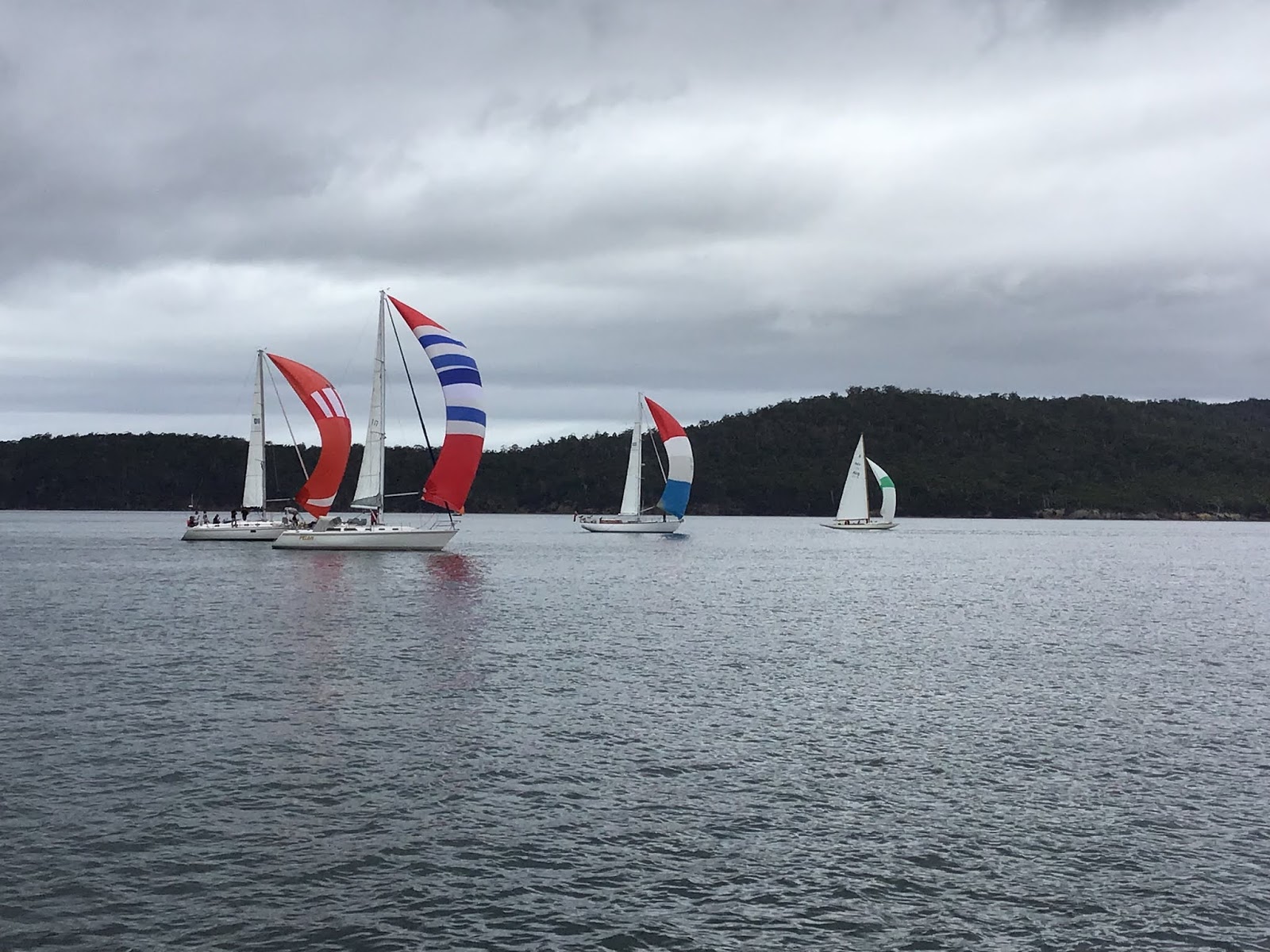
| Some of the regatta fleet heading towards Cygnet |
As we sailed (drifted) north from the Huon we encountered the regatta fleet drifting south, spinnakers set to catch what little if any breeze was developing.
The weather pattern was changing once again. A weather window was becoming apparent. We headed towards the Denison Canal.
The Denison Canal separates the Forestier Peninsula from the rest of Tasmania to the north . It is a man made canal originally envisaged in the 1850's to shorten the passage from the east coast to Hobart. In reality it didn't actually get dug until 1905. The Forestier Peninsula leads to the Tasman Peninsula (probably most famous as the peninsula housing Port Arthur). More recently it came to attention during the bushfires of 2013 when some of the residents of Dunalley took refuge in the water under the jetty and survived.
The canal allows passage between Norfolk Bay (to the west) and Boomer Bay (to the east), saving many, many miles passage to the south and around Tasman Island.
There is a swing bridge which carries the highway across , so a booking is required, for a transit of the canal.
We passed through on a particularly beautiful Tasmanian autumn morning just after 0930, sunshine and the lightest of breezes which eventually gave away to glassy conditions once we cleared east through the Marion Narrows.
 |
| https://youtu.be/QBH7z94716k |

No comments:
Post a Comment